
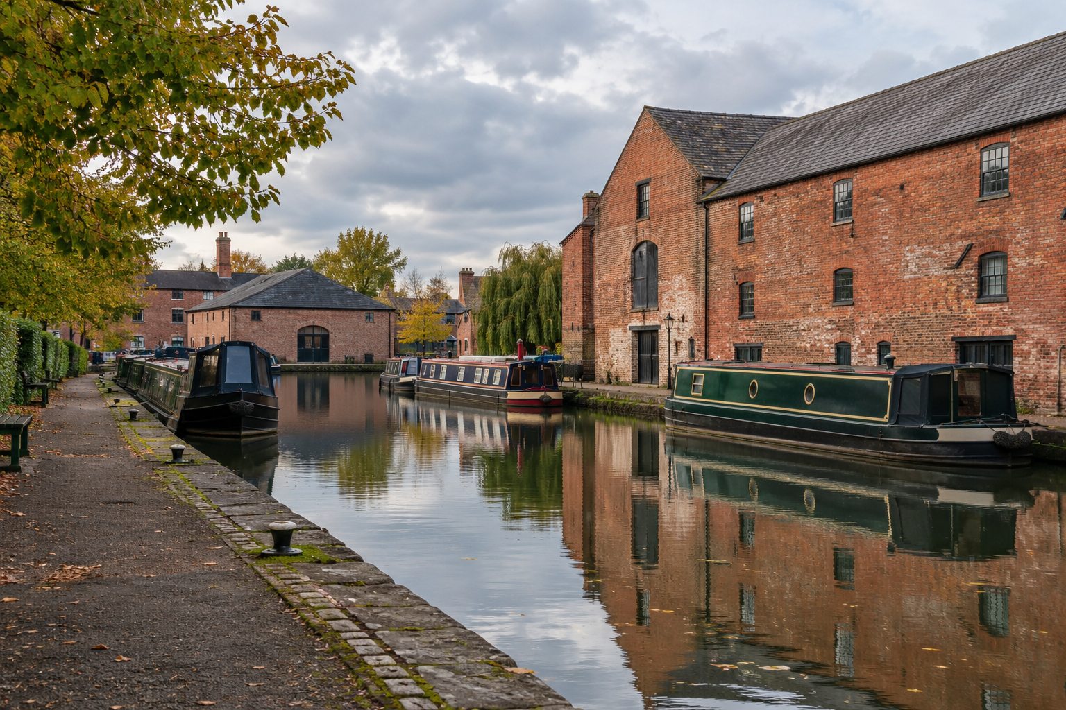
Stourport redevelopment plans have reached the planning application stage, with Wyre Forest District Council seeking permission for a new community venue on Bridge Street beside the historic Clock Basin. Application 26/0754/FUL was received and validated on 5th October 2026, and the council announced its submission on 7th October. It remains pending consideration.
The proposal would replace the former Lloyd’s Garage site, most recently used as a temporary car park, with a building containing a mezzanine and landscaped public space. A pedestrian link to Engine Lane is intended to make it easier to move between the town centre and the canal-side area. This is a submitted scheme, rather than an approved building or a confirmed opening date.
I would read this as a chance to look closely at how a new venue could fit into a much-loved historic setting. For residents, neighbouring businesses and visitors, the questions go beyond its appearance: how the space would be used, how people would reach it and how events and servicing would work all matter.
Planning a community venue in a sensitive location?
What the Stourport redevelopment application proposes
The Stourport redevelopment application covers a 1,215-square-metre site and proposes 295 square metres of internal floorspace. The application form identifies a building footprint of 223 square metres, with the additional internal space provided through the mezzanine. These figures describe the submitted design, not an approved development.
ONE Creative Environments has prepared the proposals for the council. The design and access statement, which explains the scheme’s layout and design choices, describes flexible indoor and outdoor spaces supporting community activity, markets and events. Its examples include a museum, food hall and hired events, but those examples should not be read as confirmed tenants or an agreed operating programme.
The application form gives proposed opening hours of 8am to 7pm throughout the week, including Sundays and bank holidays. Those are the applicant’s requested arrangements. Any eventual permission and its conditions would need to be checked before treating them as authorised operating hours.
Why the brickwork and roof have changed
The Stourport redevelopment design has evolved through consultation and discussions with planning officers. The submitted statement records a public event at The Civic on 28th February 2026, followed by a formal pre-application enquiry on 10th July and a meeting on 12th August. These earlier discussions informed the submission; they did not grant permission.
The architects say the material palette changed towards predominantly red brick façades and a natural slate roof. Earlier design work used more standing-seam cladding. The revised approach seeks a closer relationship with Bridge Street’s surrounding buildings while retaining a clearly contemporary addition.
The sawtooth roof profile remains. The council links that form to the town’s industrial history, while the design statement explains that its orientation supports natural light and opportunities for solar panels. A mezzanine makes use of the height within the building rather than requiring a larger ground-level footprint.
In the council’s announcement, Councillor Dan Morehead said the design would create “adaptable spaces that respond to the needs of the wider community”. That is the council’s ambition as promoter of the project. The planning assessment still has to test its effects.
Access, cycling and the end of public parking
Access is a central part of the Stourport redevelopment proposal. The submitted masterplan shows a route through the site between Bridge Street and Engine Lane, with stepped and step-free access to the building. The design statement specifies a two-metre-wide, step-free Engine Lane connection with a maximum gradient of 1:21.
For someone using a wheelchair, pushing a buggy or walking with limited mobility, the detail of those routes is more useful than a general promise of accessibility. I would check the levels, surfaces and entrances together, because a route needs to work from the street through to the space people actually want to use.
The scheme proposes covered parking for 12 cycles, using six stands. It does not propose replacement public car parking within the site. One space is retained for the adjoining residential accommodation, so that space should not be mistaken for visitor parking for the venue.
The application form says the temporary car park use ended on 26th September 2026 and describes the site as vacant. Some descriptive passages in the design statement still refer to a car park. For the most recent declared position, the dated application form provides the clearer account.
Vehicle tracking drawings examine cars, deliveries and a fire appliance. The proposed access-management arrangement includes removable bollards and turning space, with the site operator responsible for managing access. These are submitted arrangements to be assessed, rather than proof that every operational concern has been resolved.
Heritage and environmental evidence still need assessment
The Stourport redevelopment site sits within the Stourport-on-Severn No. 1 Conservation Area and close to listed buildings and the historic canal basins. A conservation area protects the character of a wider place, while listing protects particular buildings. A proposal can therefore raise heritage questions even when it does not demolish a listed building.
The applicant’s heritage statement concludes that the proposal would cause no harm to designated heritage assets and argues that redevelopment would improve the setting compared with the former car park. That is the submitted consultant’s assessment. It is not a published conclusion from the council’s planning officers or a committee decision.
I would look at the relationship between the building, Bridge Street and Clock Basin rather than judging the brick colour in isolation. Height, roof shape, views, boundary treatments and the amount of open space all contribute to how the historic setting would be experienced.
The landscape proposals include trees, planting, seating, informal lawn and flexible spaces for events. The design statement also describes measures to limit light spill towards the canal corridor and planting intended to support wildlife. These are proposed design commitments, not completed environmental improvements.
Drainage deserves attention because the design statement records contamination associated with the former garage and a sensitive underlying aquifer. It proposes managing runoff through permeable paving, filter drains and below-ground storage, while avoiding infiltration into the ground. Sewer connections are described as subject to Severn Trent Water approval.
A use-class discrepancy in the submitted documents
There is one point in the Stourport redevelopment paperwork that needs clarification. The register’s proposal description labels the building Use Class F1(e), while the application form’s floorspace and opening-hours sections select F2. Both are presented as community-related uses, but the two labels should not simply be treated as interchangeable.
I would not choose one on the applicant’s behalf. The relevant question is what activities are actually proposed, how they would operate and how any eventual permission describes and controls them. Readers checking the scheme should keep that discrepancy in mind rather than assuming the register and form already agree.
For broader background, Planning Geek’s guide to identifying a property’s use class explains why the actual activities matter. It does not resolve this application’s inconsistent entries.
What happens next and how to respond
The council’s 7th October announcement says councillors are likely to consider the application on 17th November 2026. That is an anticipated date, not confirmation that a committee agenda has been issued or that permission will be granted. The current register still records the application as pending consideration.
Anyone wishing to respond should search for 26/0754/FUL on the council’s planning register and check the current consultation dates and documents. The register lists 29 documents, including the application form, four parts of the design and access statement, heritage evidence, drainage material and vehicle tracking.
I would make a response specific: identify the drawing or document, explain the effect you are concerned about and suggest a practical change where possible. The scheme’s appearance, accessible routes, neighbouring amenity and servicing are more useful points to address than simply saying you like or dislike redevelopment.
The immediate news is that a detailed scheme is now available for scrutiny. Whether it delivers the promised connection between town and basin, and on what terms, remains a matter for the planning process. The council’s original announcement sets out its intentions, while the application documents provide the detail needed to test them.



0 Comments